PRINCE GEORGE
Sunday, August 17, 2025
Saturday’s predicted forecast for thunderstorms came alive with loads of action from the sky late Saturday afternoon…
At around 3:38 pm, (notice the time of the post below and screenshot time) PJXM was watching weather radar and one cell on the basic radar map on the smartphone sparked some interest when it was noticed how split apart it was. The cell was headed straight up to Highway 16 West moving slightly northeast towards the outer skirts of Prince George near Cranbrook Hill and Foothills Blvd. The storm was 1 hour or so away, even though it looked like it was on top of the BCNE (PG’s Exhibition) at that time.
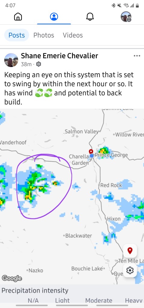
At 3:38 pm, Shane Chevalier (PJXM Owner) noticed a wild storm system, even if it doesn’t look like it on this radar shot since this radar image is basic as can be from Environment Canada. Warnings came out by ECCC just after 4 pm.
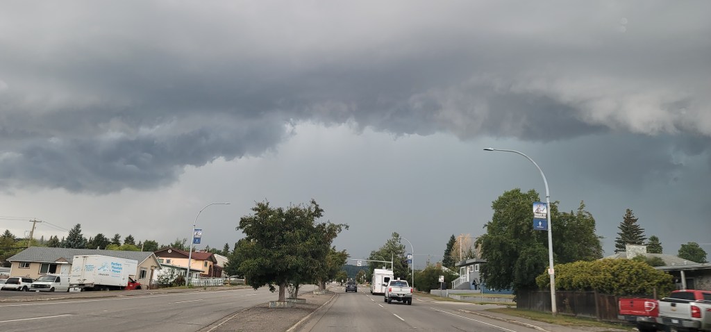
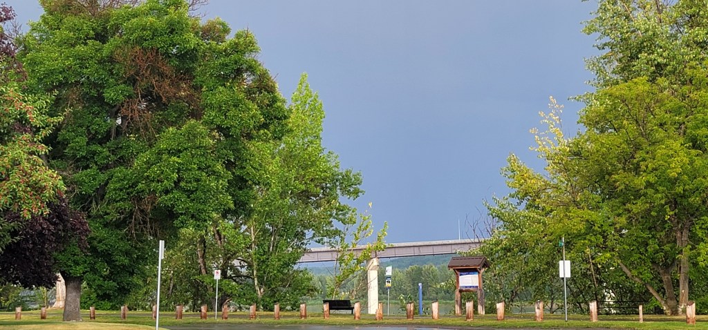
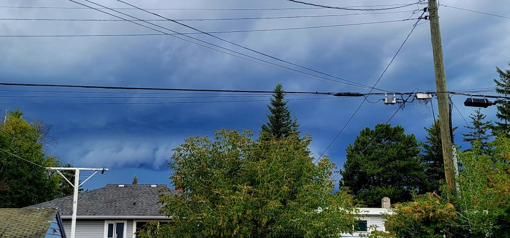
Around 4 pm, Environment Canada issued weather watches and warnings for the region, this time it was on time so that people could prepare for it, even though most who looked up could see it coming in and how dangerous it looked. The photo below was taken at 4:30 pm.
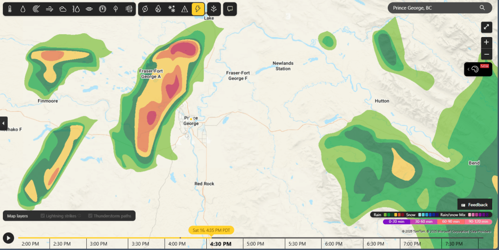
The radar map presented below by MSN allows weather users to go ahead several hours to see the radar image and this is what it was at 3:40 pm but predicted for 4:35 pm. It was bang on correct. If that would have been a direct hit, the rain and lightning would have been much worse than it was. The system lasted close to 2 hours Saturday!
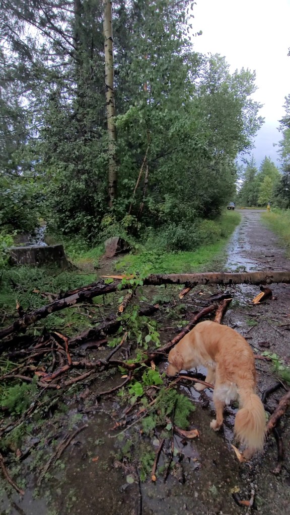
Wind gusts up to 80 km/h were lashing out at trees along Foothills Blvd, including areas within the Wilson Park neighbourhoods, Otway, Miworth, North Nechako and the Hart. Damage was strewn all over the roads in the above mentioned areas with busted tree branches, downed trees and a lot of leaf debris littered the roads. Hail falling from the sky was marble size while headed out to Miworth.
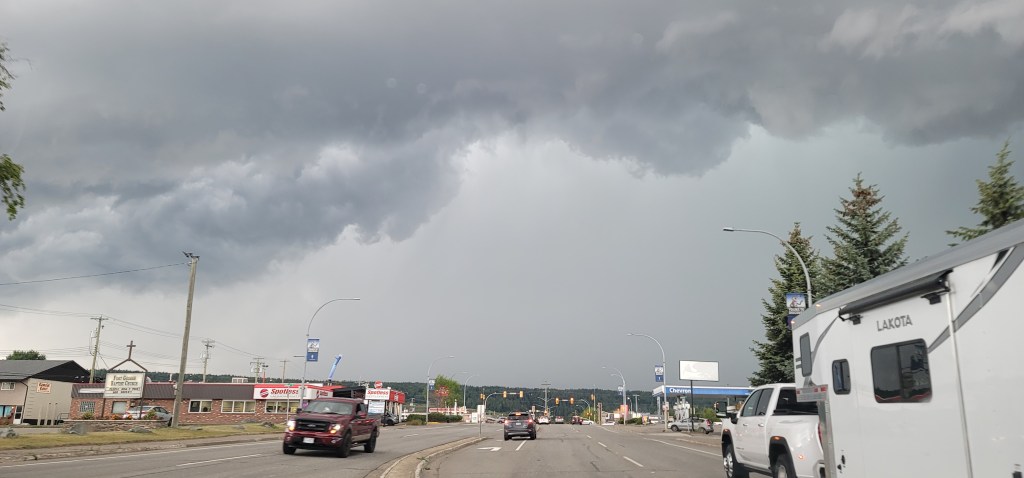
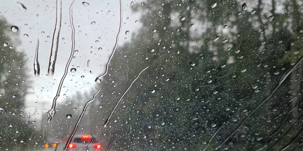
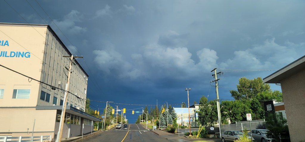
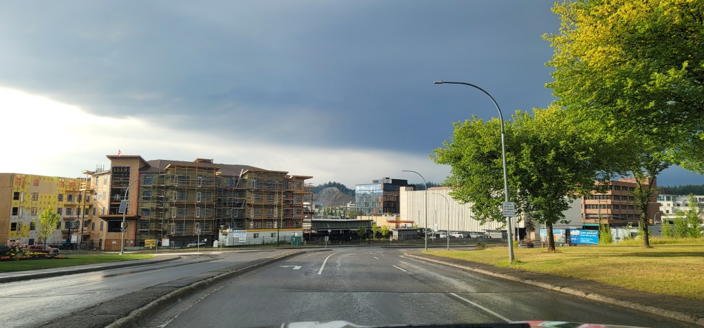
Check out the photos and a video of the storm system after it finally left by PJXM News! The second and third photos are from PJXM’s dash cam. The storm system was gone by 6:30 pm, two hours after it started. The PG area received close to 20 mm of rain Saturday.