
PRINCE GEORGE
Monday, June 12, 2023 | 3:55 pm. Last updated on June 13, 2023, at 2:56 pm.
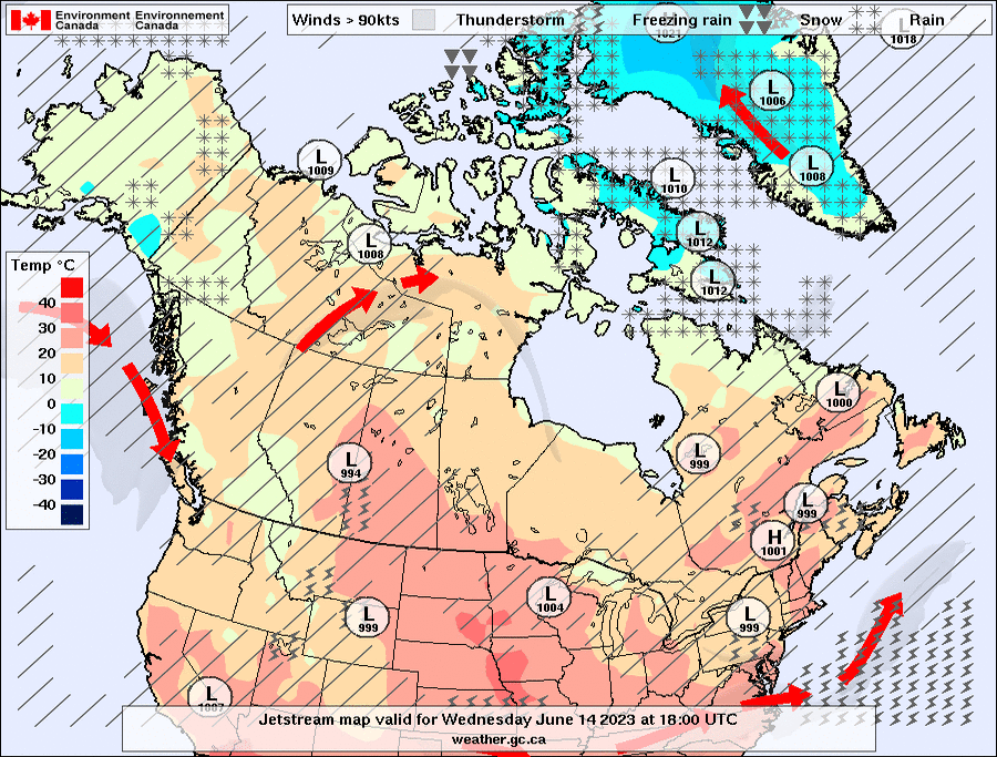
Environment Canada has issued a Special Weather Statement for heavy rainfall and strong winds as cooler temperatures are on the way for much of the province over the next few days at least…
Just a week ago, the mainstream headlines were heat, some of which did not pan out, particularly on the south coast where they were warned of a “mini heatwave”.
While in Prince George, we may have broken a record set back in June 1969 at 31 degrees, there was no mini heatwave. There was a break in the heat over the weekend and night time temperatures dropped down below 10 degrees.
Cooler night time lows are set to return beginning Tuesday.
Enjoy the spring temperatures!
—
The Special Weather Statement in effect is stated below from Environment Canada…
Rain, strong winds, and thunderstorms expected by late Tuesday afternoon.
Time Span: Tuesday to Wednesday.
Rainfall amounts 15 to 25 mm. Wind gusts up to 60 km/h. Stronger wind gusts, and locally higher rainfall amounts possible in thunderstorms.
A cold front will sweep across British Columbia on Tuesday. Rain and thunderstorms are expected to develop through the day, followed by gusty winds with the passage of the cold front.
An upper level disturbance develops Tuesday night, bringing rain and a risk of thunderstorms to eastern regions of the Province from the BC Peace River area to the Kootenay. Gusty winds are likely to continue as well for the central interior and the North and South Thompson regions.
